

Roots, loose footing and historic features that must remain untouched. Conditions and posted guidance at the park always take priority over a web description.
Current conditions: Check the official park hiking page and trailhead notices before starting. Tennessee State Parks lists Ore Pit Trail at 1.52 miles; recorded mileage can vary with the exact start and connections.
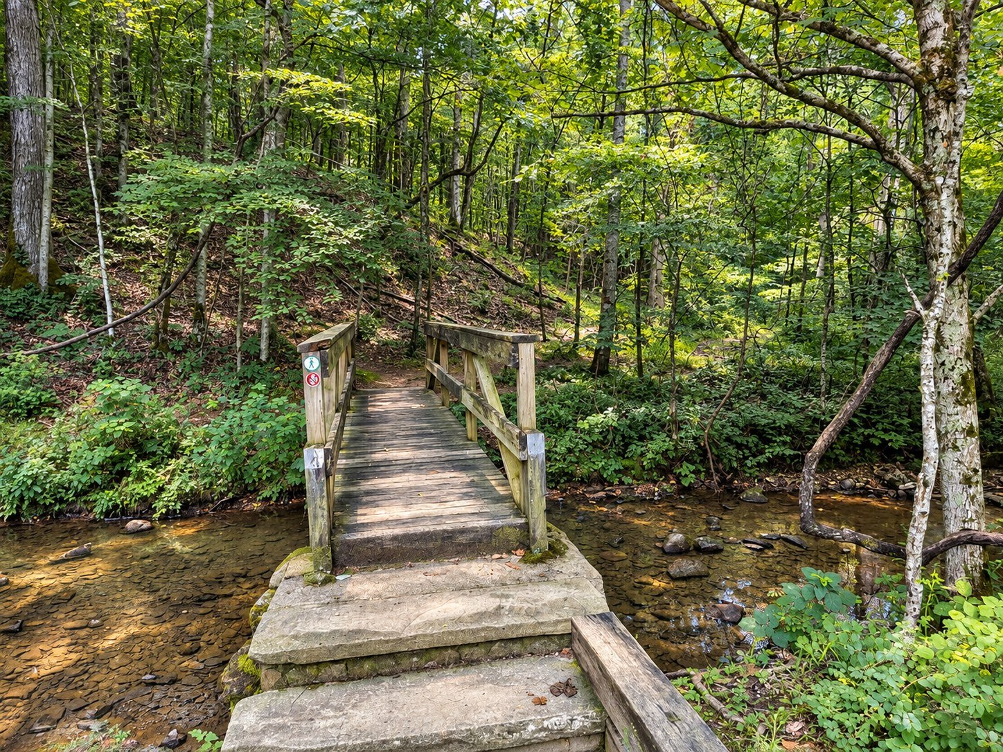
Ore Pit Trail is where Montgomery Bell’s forest and iron-making history occupy the same ground. The route passes through woods shaped by recovery while leading hikers near the excavations that supplied ore to the nineteenth-century furnace industry. It is compact enough for a half-day visit and layered enough to reward someone who came for more than exercise.
Why this trail belongs on a first visit
Montgomery Bell can look like an uninterrupted woodland until the old industrial landscape comes into focus. Depressions, cuts and altered ground are part of that story. The trail makes the park’s history tangible without requiring the time or navigation commitment of the 10.24-mile Montgomery Bell Trail.
Understanding the ore pits
The pits are historic features, not play areas. Their edges can be steep, leaf-covered and difficult to judge. Stay on the established trail, keep children close and do not enter, climb or disturb excavations. A careful view preserves both the visitor and the site.
Footing and difficulty
Expect roots, rocks, grades and natural tread rather than a paved attraction path. Fallen leaves can conceal holes and slick surfaces. Most reasonably active visitors can enjoy the route with unhurried pacing, but distance alone does not establish accessibility.
How much time to allow
Plan roughly 60–90 minutes, longer if you stop to read the landscape, take photographs or connect with another marked route. Start early enough to finish comfortably before dark and carry the current map.
Walk it like a field editor
- Look for changes in ground shape rather than expecting one dramatic mine opening.
- Notice how mature forest now surrounds former industrial ground.
- Use established overlooks and protect fragile edges.
- Leave every historic object exactly where it lies.
- Confirm the blaze at junctions before continuing.
Best seasons
Winter’s open woods can make landforms easier to read. Spring brings fresh growth and wildflowers; summer offers shade; autumn gives color but can hide uneven footing beneath leaves. After heavy rain, expect softer ground.
Pair history with the rest of the park
Continue the story through our park history guide and park map. Hikers wanting a quieter natural-area route can try Wildcat; visitors seeking the full system can prepare for the Montgomery Bell Trail.
Before you go
- Carry water and traction-appropriate footwear.
- Check weather, closures and hunting-season guidance.
- Keep dogs leashed and follow current park rules.
- Do not rely on mobile service for navigation.
Return to the Montgomery Bell hiking hub to compare all seven featured trails.
Sources
Trail distance and current status should be checked with Tennessee State Parks. Historical context should be read alongside the park’s official interpretation and the Tennessee Division of Natural Areas.