

Natural tread, changing grades and route connections. Conditions and posted guidance at the park always take priority over a web description.
Current conditions: Confirm the route and closures with Tennessee State Parks. The official inventory lists Wildcat Trail at 1.25 miles.
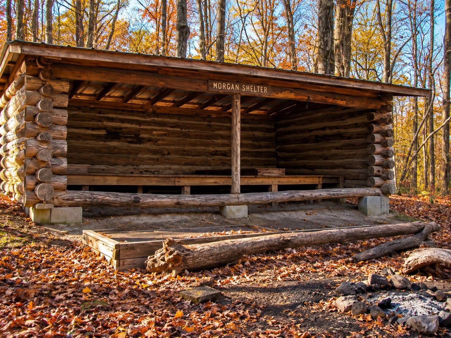
Wildcat Trail enters one of Montgomery Bell’s most interesting forest settings. The northern Wildcat Ridge tract is part of the state-designated natural area, where oak-hickory forest gives way in places to a richer community of large white oak, tulip poplar, beech, black gum and other species.
What makes Wildcat different
This is a trail for people who notice trees, slope and light. Its value is not a built attraction but the quality of the forest around it. Walk quietly and the route becomes a lesson in how moisture, exposure and landform change a woodland.
Route and footing
Expect natural tread, roots, rocks, grades and connections with other marked routes. Leaves can hide uneven ground and recent rain can change creek approaches. Carry the current map and stop at junctions until you are certain of the blaze.
Natural-area etiquette
- Remain on established trail.
- Do not collect plants, fungi, rocks or historic objects.
- Observe wildlife from a distance.
- Avoid broadcasting sensitive wildlife or plant locations.
- Keep dogs leashed and confirm current rules.
Time and season
Allow an hour or more, particularly if connecting to another route. Spring and autumn are visually rich, summer brings deep shade and winter reveals the ridge structure. Wind, rain and short daylight should change your plan.
Connect it carefully
Wildcat can be combined with Ore Pit, Creech Hollow or the long circuit, but connected mileage grows quickly. Trace the complete route before leaving.
Learn more about the protected forest in our nature guide, or return to the trail comparison.
Primary source
The Tennessee Division of Natural Areas provides the authoritative description of the Montgomery Bell State Natural Area.