Montgomery Bell State Park Visitor Center

First Visit to Montgomery Bell State Park: Know Before You Go
Montgomery Bell State Park is close enough to Nashville for an easy day outside, but large enough that arriving without a plan can cost you the best part of the morning. The park spreads its trails, lakes, historic sites, lodge, golf course and recreation areas across a wooded landscape near Burns, Tennessee. Use this guide to choose where to begin, what to bring and which details to confirm before you leave home.

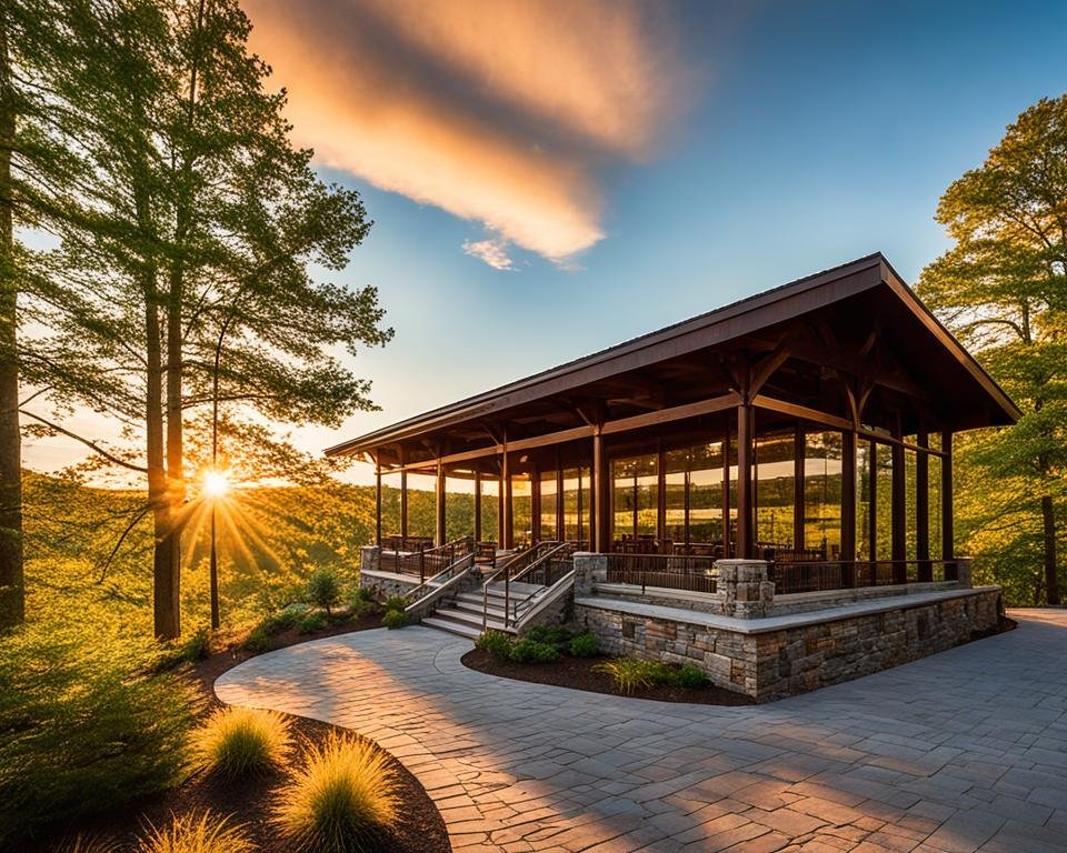
Montgomery Bell State Park visitor center in Burns, Tennessee
Use the visitor-center area to confirm current conditions and orient a first visit.
Check before driving: Closures and operating details change with weather, construction and season. Review the official Montgomery Bell State Park page and alerts on the day of your visit. Posted signs and park staff guidance always take priority over this planning guide.

Quick facts for a first visit

Park office and visitor center 1020 Jackson Hill Road, Burns, TN 37029
Park office phone 615-797-9052
Officially listed office hours 8:00 a.m.–4:00 p.m. Central; confirm holiday and seasonal changes
Visitor Center Gift Shop Officially listed Monday–Saturday, 8:00 a.m.–4:00 p.m. Central; closed Sunday
Reservations 1-888-867-2757
Park coordinates 36° 6′ 3″ N, 87° 17′ 6″ W
Time zone Central Time

Contact details and listed hours were checked against Tennessee State Parks on September 9, 2026. Because operating details can change, call the park when a specific facility is essential to your trip.

Where should you begin?

For a first visit, use the park office and visitor-center area as your orientation point. Pick up or download the current park map, ask about closures and confirm any activity that depends on water level, staffing or seasonal operations. If your day centers on the lodge, restaurant or Lake Acorn, the lodge area may be the more practical first stop.

Do not assume that “Montgomery Bell State Park” is one parking lot. Save the address for the specific place you need, and leave time for the drive between activity areas.

  • First-time day visitor: Start at the visitor center, then combine one short hike with Lake Acorn and park history.
  • Long-distance hiker: Go directly to the appropriate trailhead only after checking the current map, closures and return time.
  • Overnight guest: Follow the confirmation supplied by the lodge, cabin or campground rather than navigating only to the park office.
  • Golfer or restaurant guest: Use the dedicated golf-course or lodge destination in your navigation app.

Download the map before you arrive

Cell service can be inconsistent, and trail junctions matter. Download the current official park map and brochure before leaving reliable service. A screenshot is helpful, but a saved PDF or paper map is better when you need to zoom in or compare trail connections.

Our Montgomery Bell map guide explains the main visitor areas. Hikers should also use the trail comparison hub, which links to detailed guides for seven named routes.

How long should you allow?

Two or three hours

Choose one compact experience instead of racing across the park. Walk the Jim Bailey Nature Trail or Ore Pit Trail, then spend time around Lake Acorn or the park’s historic core.

Most of a day

A day gives you room for a moderate hike, lunch and one additional activity. Start with our Things to Do guide or follow the one-day itinerary.

A weekend

An overnight visit makes longer hikes, golf and quieter morning or evening hours easier. Compare the lodge, park cabins and nearby lodging, then reserve through the official park system or the clearly identified booking option that suits your trip.

What to bring

  • Water for every person, even on a short trail
  • Closed-toe footwear suited to roots, mud and uneven ground
  • A downloaded or paper park map
  • Sun and insect protection
  • A light layer and rain protection when the forecast is unsettled
  • Any medication, mobility aid or child supplies you cannot replace inside the park
  • A leash and cleanup supplies if traveling with a dog

Accessibility and realistic expectations

Tennessee State Parks identifies an ADA-accessible porous-paved walking track at the ball field, accessible lodging, an accessible paddling launch, an adult-sized changing table and a colorblind viewfinder among the park’s accessibility features. That does not mean every trail, shoreline or historic feature is accessible.

Conditions can change with maintenance and weather. Review the official accessibility information and call 615-797-9052 when surface, grade, restroom access, transfer space or proximity to parking will determine whether an outing works. A short trail is not automatically an accessible trail.

Pets and family visits

Plan to keep pets leashed and under control, clean up after them and confirm restrictions for lodging, swimming areas, buildings and other specific facilities. For families, choose the day around the least-experienced walker. Short natural-surface trails can still include roots, damp leaves and uneven ground.

The family guide helps match activities to available time and energy.

Water, swimming and trail safety

Creek rocks and spillway areas can be slick. Tennessee State Parks expressly prohibits climbing on the spillway. Do not enter fast, deep or uncertain water, and do not treat a mapped stream as guaranteed drinking water. Rangers carry first-aid supplies, but preparation remains the visitor’s responsibility.

Before a substantial hike, read the trail safety and preparedness guide. For boating, fishing, swimming or rentals, confirm current rules and operating status rather than relying on an older social post or review.

Choose the rest of your visit

  • Hiking: Compare distance, character and difficulty across the main routes.
  • Lake Acorn: Plan time around the park’s most visible lake setting.
  • Golf: Review the course and booking information.
  • Boating and paddling: Check current access, rentals and water rules.
  • History: Understand the iron industry and Cumberland Presbyterian story preserved here.
  • Dining: Review the lodge restaurant before building it into the day.
  • Places to stay: Compare in-park and nearby options.

Five mistakes that make a first visit harder

  1. Entering only the park name in navigation and assuming it leads to the right activity.
  2. Waiting until the trailhead to download the map.
  3. Planning around a seasonal facility without checking whether it is operating.
  4. Choosing a trail by mileage alone instead of footing, weather and the group’s ability.
  5. Trying to sample every corner of the park in one short visit.

First-visit FAQ

Where is Montgomery Bell State Park?

The park is in Burns, Tennessee, west of Nashville. The park office is at 1020 Jackson Hill Road.

What is the best trail for a first visit?

Jim Bailey is the simplest introduction for many visitors. Ore Pit offers more distance and historical context. The 10.24-mile Montgomery Bell Trail requires substantially more preparation.

Can I visit without hiking?

Yes. The lakes, park history, lodge, restaurant, golf course, picnic facilities and seasonal recreation can support a visit without a trail hike. Confirm the specific facility you want before traveling.

Where should I check closures?

Use the alerts displayed on the official Tennessee State Parks page and follow signs or staff instructions inside the park.

Last planning review: September 9, 2026. This site is an independent visitor guide and is not affiliated with Tennessee State Parks.

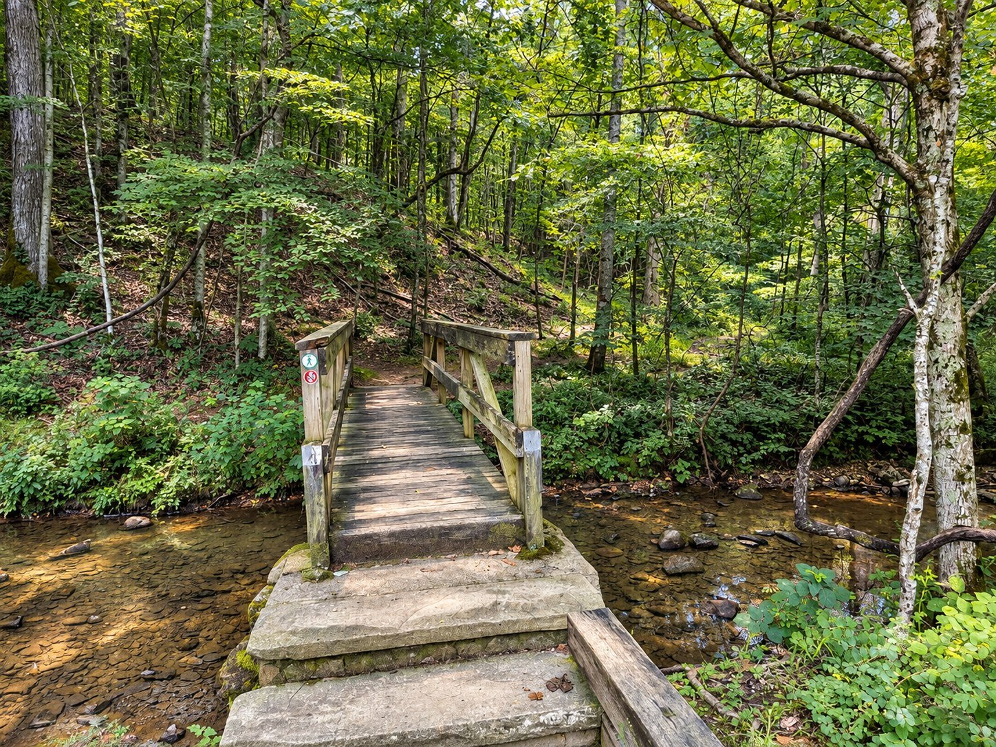
Wooden footbridge on Ore Pit Trail at Montgomery Bell State Park

Ore Pit Trail at Montgomery Bell State Park

Current conditions: Check the official park hiking page and trailhead notices before starting. Tennessee State Parks lists Ore Pit Trail at 1.52 miles; recorded mileage can vary with the exact start and connections.

Wooden footbridge on Ore Pit Trail at Montgomery Bell State Park
A wooded footbridge along Ore Pit Trail.

Ore Pit Trail is where Montgomery Bell’s forest and iron-making history occupy the same ground. The route passes through woods shaped by recovery while leading hikers near the excavations that supplied ore to the nineteenth-century furnace industry. It is compact enough for a half-day visit and layered enough to reward someone who came for more than exercise.

Trail snapshot: 1.52 miles; natural surface; short-to-moderate forest hike; best for park history, families with trail experience and visitors wanting more substance than a nature walk.

Why this trail belongs on a first visit

Montgomery Bell can look like an uninterrupted woodland until the old industrial landscape comes into focus. Depressions, cuts and altered ground are part of that story. The trail makes the park’s history tangible without requiring the time or navigation commitment of the 10.24-mile Montgomery Bell Trail.

Understanding the ore pits

The pits are historic features, not play areas. Their edges can be steep, leaf-covered and difficult to judge. Stay on the established trail, keep children close and do not enter, climb or disturb excavations. A careful view preserves both the visitor and the site.

Footing and difficulty

Expect roots, rocks, grades and natural tread rather than a paved attraction path. Fallen leaves can conceal holes and slick surfaces. Most reasonably active visitors can enjoy the route with unhurried pacing, but distance alone does not establish accessibility.

How much time to allow

Plan roughly 60–90 minutes, longer if you stop to read the landscape, take photographs or connect with another marked route. Start early enough to finish comfortably before dark and carry the current map.

Walk it like a field editor

  • Look for changes in ground shape rather than expecting one dramatic mine opening.
  • Notice how mature forest now surrounds former industrial ground.
  • Use established overlooks and protect fragile edges.
  • Leave every historic object exactly where it lies.
  • Confirm the blaze at junctions before continuing.

Best seasons

Winter’s open woods can make landforms easier to read. Spring brings fresh growth and wildflowers; summer offers shade; autumn gives color but can hide uneven footing beneath leaves. After heavy rain, expect softer ground.

Pair history with the rest of the park

Continue the story through our park history guide and park map. Hikers wanting a quieter natural-area route can try Wildcat; visitors seeking the full system can prepare for the Montgomery Bell Trail.

Before you go

  • Carry water and traction-appropriate footwear.
  • Check weather, closures and hunting-season guidance.
  • Keep dogs leashed and follow current park rules.
  • Do not rely on mobile service for navigation.

Return to the Montgomery Bell hiking hub to compare all seven featured trails.

Sources

Trail distance and current status should be checked with Tennessee State Parks. Historical context should be read alongside the park’s official interpretation and the Tennessee Division of Natural Areas.

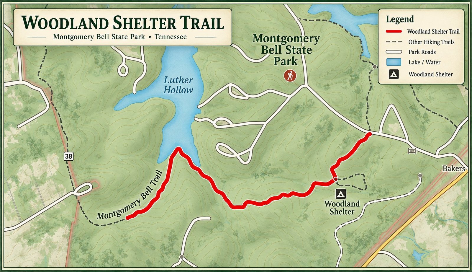
Illustrated orientation map of Woodland Shelter Trail at Montgomery Bell State Park

Woodland Shelter Trail at Montgomery Bell State Park

Current conditions: Confirm trail and shelter access with Tennessee State Parks and posted signs. The official trail inventory lists Woodland Shelter Trail at 0.29 mile.

Illustrated orientation map of Woodland Shelter Trail at Montgomery Bell State Park
Orientation graphic only—confirm current routing with the official park map and posted signs.

The Woodland Shelter Trail is a short connector with an outsized role. In less than a third of a mile, it leads hikers into the park’s backcountry trail system and toward a shelter used by permitted overnight travelers. It is useful as an access trail, a planning landmark and a reminder that a short distance can still place you in a more remote setting.

Trail snapshot: 0.29 mile; natural surface; short connector to the backcountry network; best for shelter access and hikers linking into a longer planned route.

What this trail is—and is not

This is not a stand-alone scenic loop with a procession of overlooks. It is a purposeful forest approach. Day visitors may enjoy a quick walk, but its real value is logistical: it helps connect the developed park with the longer Montgomery Bell Trail system.

Planning for the shelter

Do not assume the shelter is available simply because it appears on a map. Overnight use may require a reservation or permit, and rules can change. Confirm availability, check-in instructions, water guidance, fire restrictions and occupancy directly with the park before leaving home.

Footing and navigation

The route is short, but expect natural tread, roots, leaves and wet-season mud. Carry the current map if continuing beyond the shelter area. At every junction, identify the next blaze before moving on; a short connector can become a long mistake when it feeds a larger network.

Water and weather

Carry drinking water and treat any natural source. A mapped stream is not a guarantee. Rain can soften the approach, summer humidity raises water needs and winter darkness arrives early. Pack for the longer route you intend to hike, not merely the length of this connector.

Leave the shelter better

  • Pack out all food, trash and hygiene products.
  • Do not leave gear or supplies for the next visitor.
  • Protect food according to current park guidance.
  • Keep noise low and respect other permitted users.
  • Use only designated facilities and follow current fire rules.

Connect to the larger trail

Most hikers use this approach as part of a plan involving the Montgomery Bell Trail. Read our overnight trail guide and trail safety guide before committing to a backcountry itinerary.

For a self-contained short walk, compare Jim Bailey or Ore Pit. Return to the Montgomery Bell hiking hub for the full comparison.

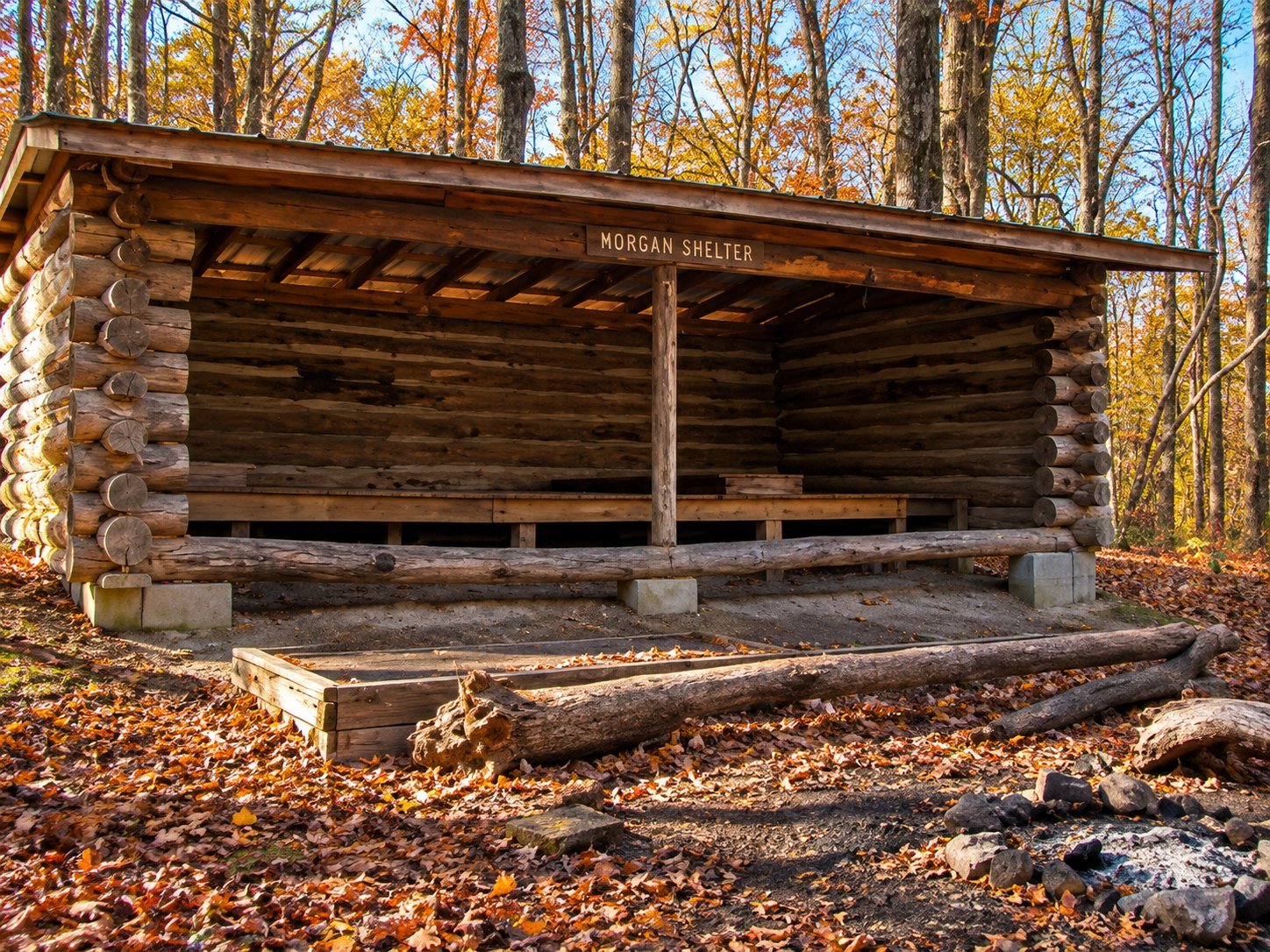
Morgan Shelter along Wildcat Trail at Montgomery Bell State Park

Wildcat Trail at Montgomery Bell State Park

Current conditions: Confirm the route and closures with Tennessee State Parks. The official inventory lists Wildcat Trail at 1.25 miles.

Morgan Shelter along Wildcat Trail at Montgomery Bell State Park
Morgan Shelter is a distinctive stop along the Wildcat Trail route.

Wildcat Trail enters one of Montgomery Bell’s most interesting forest settings. The northern Wildcat Ridge tract is part of the state-designated natural area, where oak-hickory forest gives way in places to a richer community of large white oak, tulip poplar, beech, black gum and other species.

Trail snapshot: 1.25 miles; moderate natural-surface route; best for forest character, solitude and connections to the larger trail network.

What makes Wildcat different

This is a trail for people who notice trees, slope and light. Its value is not a built attraction but the quality of the forest around it. Walk quietly and the route becomes a lesson in how moisture, exposure and landform change a woodland.

Route and footing

Expect natural tread, roots, rocks, grades and connections with other marked routes. Leaves can hide uneven ground and recent rain can change creek approaches. Carry the current map and stop at junctions until you are certain of the blaze.

Natural-area etiquette

  • Remain on established trail.
  • Do not collect plants, fungi, rocks or historic objects.
  • Observe wildlife from a distance.
  • Avoid broadcasting sensitive wildlife or plant locations.
  • Keep dogs leashed and confirm current rules.

Time and season

Allow an hour or more, particularly if connecting to another route. Spring and autumn are visually rich, summer brings deep shade and winter reveals the ridge structure. Wind, rain and short daylight should change your plan.

Connect it carefully

Wildcat can be combined with Ore Pit, Creech Hollow or the long circuit, but connected mileage grows quickly. Trace the complete route before leaving.

Learn more about the protected forest in our nature guide, or return to the trail comparison.

Primary source

The Tennessee Division of Natural Areas provides the authoritative description of the Montgomery Bell State Natural Area.

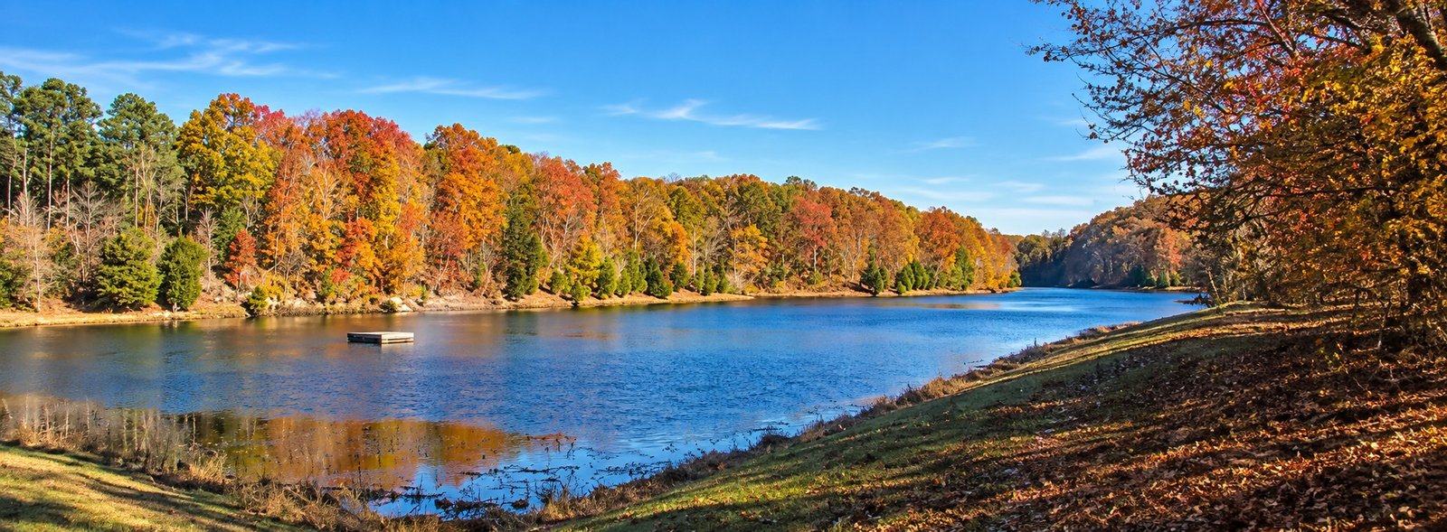
Autumn shoreline scenery along Creech Hollow Trail at Montgomery Bell State Park

Creech Hollow Trail at Montgomery Bell State Park

Current conditions: Confirm access and routing with Tennessee State Parks and posted signs. Official distance is 1.23 miles; GPS readings can vary.

Autumn shoreline scenery along Creech Hollow Trail at Montgomery Bell State Park
Autumn color beside the water along the Creech Hollow Trail route.

Creech Hollow Trail follows the quieter logic of Montgomery Bell: down into shade, alongside water, then back through woods where the next turn matters more than a distant view. It is an appealing middle choice—more substantial than a nature loop, far less committing than the park’s ten-mile circuit.

Trail snapshot: 1.23 miles; natural surface; best for creek-and-lake scenery, spring growth and hikers seeking a compact forest route.

Route character

The trail connects with the broader Montgomery Bell system and is historically used to divide the long trail into shorter circuits. That makes it useful, but it also demands attention at junctions. Expect roots, rocks, damp ground, seasonal vegetation and changing water conditions.

The lake section

Creech Hollow Lake gives the walk a distinct center of gravity. Water levels, vegetation and maintenance can alter views and footing. Stay on the marked tread through open or grassy sections, and never assume an informal line is the trail.

Difficulty in real terms

The official distance is short, but natural tread and intersections make this different from a casual sidewalk walk. Allow about an hour, more for children, photography or wet conditions. Carry a map even if you expect a quick outing.

Best time to go

Spring favors fresh growth and flowers; summer mornings are cooler; autumn brings leaf color and leaf-covered footing; winter opens the forest. Recent rain may raise water or soften the route.

Good trail habits

  • Confirm the blaze at every junction.
  • Keep dogs leashed and out of sensitive shoreline habitat.
  • Do not cross fast or uncertain water.
  • Carry water rather than drinking untreated surface water.
  • Leave plants, animals and historic traces undisturbed.

Build a longer walk

Experienced hikers can use Creech Hollow with the Montgomery Bell Trail and Wildcat Trail. For a simple first walk, compare Jim Bailey and Ore Pit.

Return to the hiking hub or review trail safety.

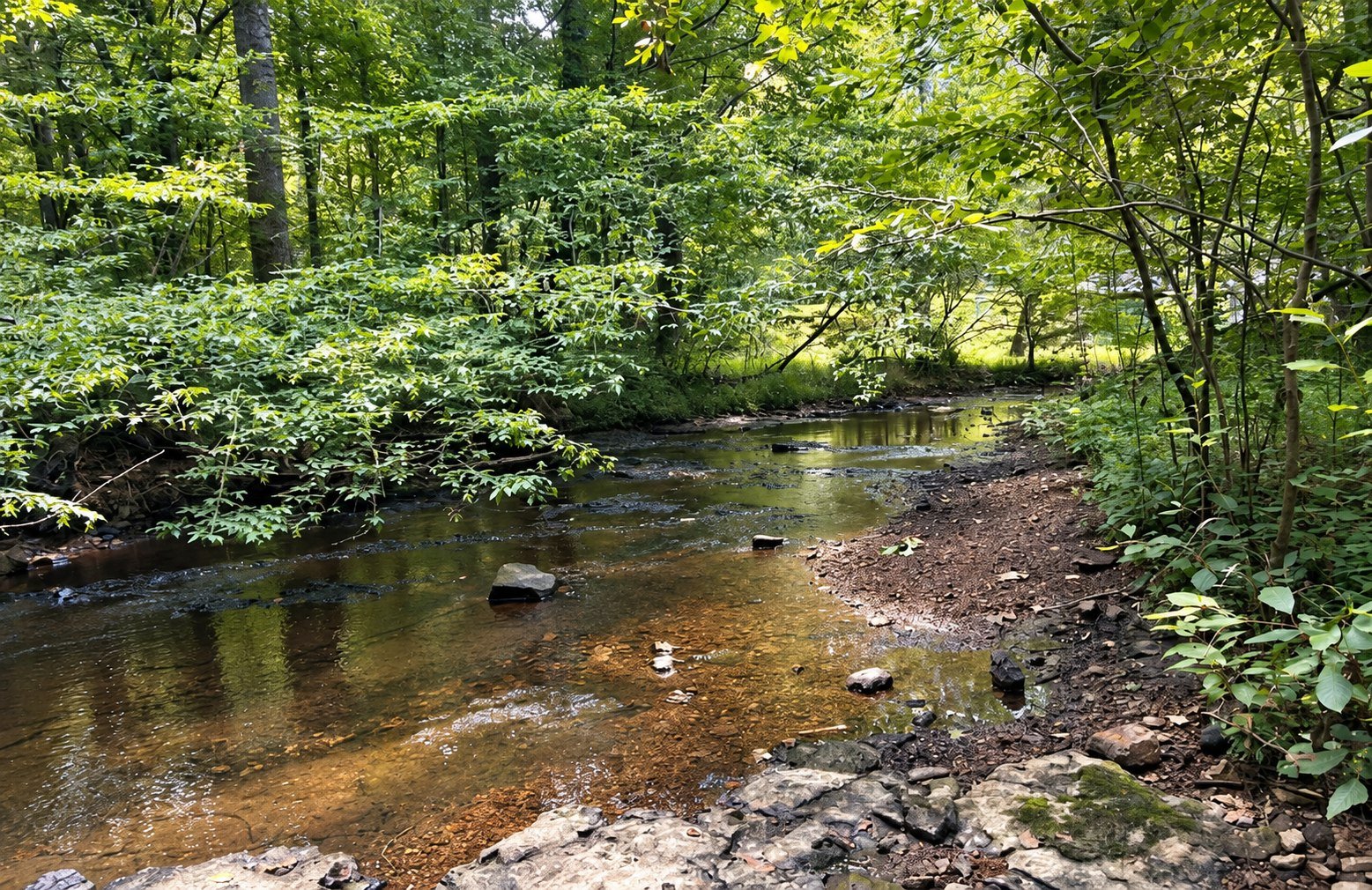
Sunlit woodland creek along Spillway Trail at Montgomery Bell State Park

Spillway Trail at Montgomery Bell State Park

Current conditions: Check the official park hiking page and posted signs before starting. Distances follow Tennessee State Parks’ trail inventory; GPS recordings can vary.

Sunlit woodland creek along Spillway Trail at Montgomery Bell State Park
A quiet creek scene along Spillway Trail.

The Spillway Trail is a compact 0.56-mile walk shaped by Lake Woodhaven, moving water and the cool green folds of the surrounding forest. It is one of the park’s most efficient scenic walks, but current lake work, construction or access notices can change the experience. Check before building a visit around it.

Trail snapshot: 0.56 mile; short natural-surface walk; best for lake scenery, photography, wildflowers and a flexible outing.

Why this short trail works

Water gives the route its focus. The lake and spillway create a change in sound and atmosphere that feels larger than the mileage suggests. The official park highlights point visitors here for the Lake Woodhaven spillway view and recognize the trail for spring wildflowers.

Current-access warning

Lake Woodhaven conditions may be affected by infrastructure work and water-level changes. Never assume a photograph, older trip report or previous visit reflects today’s access. Obey barriers and do not step onto wet structures, exposed lakebed or closed work areas.

Footing and difficulty

The distance is easy to underestimate in another way: wet rock, roots, leaf cover and spray can make short sections slick. Wear shoes with useful traction and supervise children closely near water and grade changes. This is a scenic walk, not a place to climb spillway structures.

Photography without damage

Use established viewpoints, keep tripods out of the travel path and resist moving onto fragile edges for a cleaner angle. Overcast light often handles water better than hard midday sun. A polarizing filter can control glare, but the strongest photograph usually comes from patient composition rather than unsafe access.

Pair it with

Combine the walk with the park lakes guide or a longer route on Montgomery Bell Trail. If access is limited, choose Jim Bailey or Ore Pit instead.

What to bring

  • Traction-appropriate footwear
  • Water and weather protection
  • A current map
  • Leash and waste supplies when bringing a dog
  • Patience around other visitors at narrow viewpoints

Return to the Montgomery Bell hiking hub for the full trail comparison.

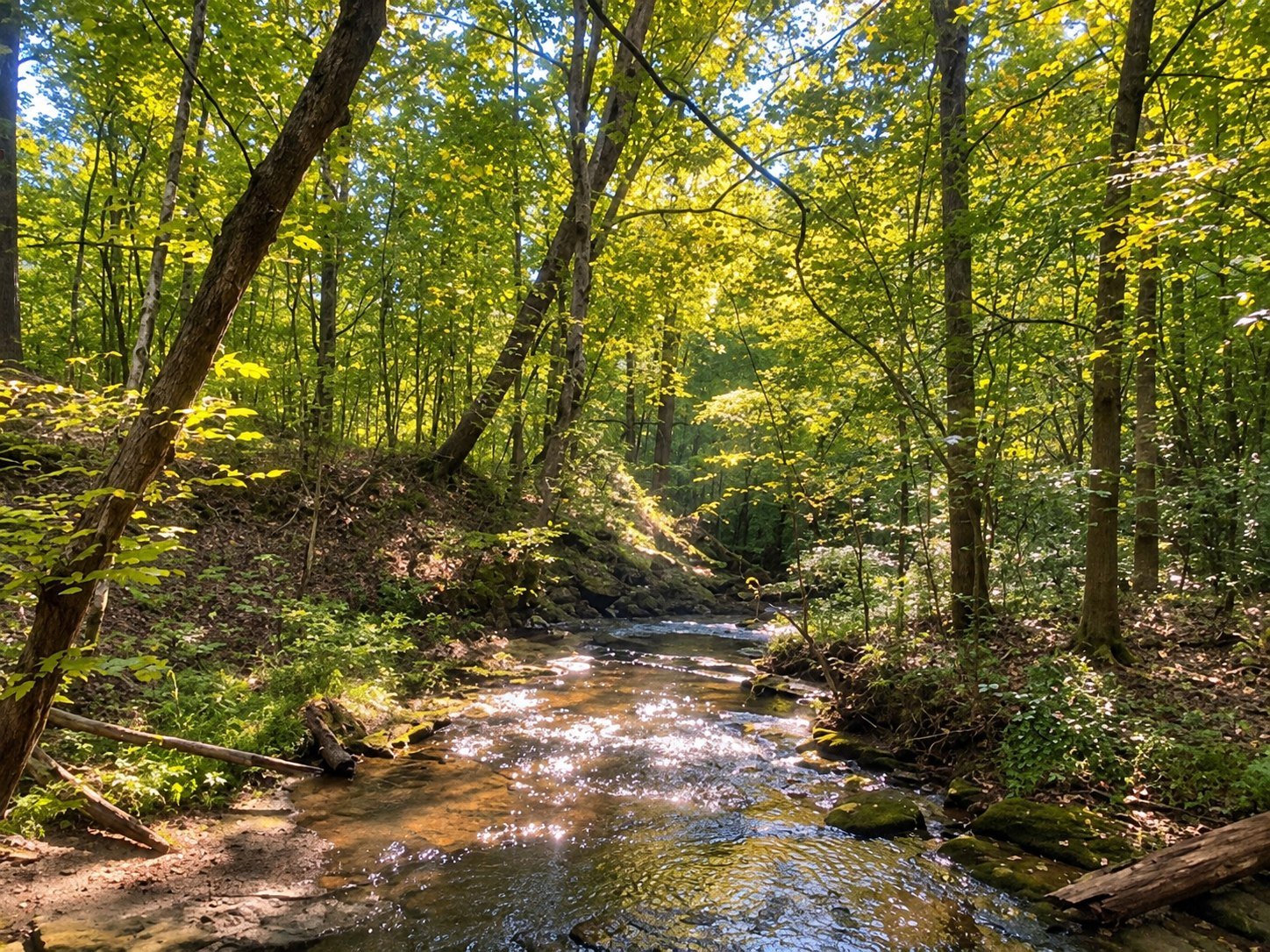
Wooded creek along Jim Bailey Nature Trail at Montgomery Bell State Park

Jim Bailey Nature Trail Guide

Current conditions: Check the official park hiking page and posted signs before starting. Distances follow Tennessee State Parks’ trail inventory; GPS recordings can vary.

Wooded creek along Jim Bailey Nature Trail at Montgomery Bell State Park
The shaded creek corridor on Jim Bailey Nature Trail.

The Jim Bailey Nature Trail is Montgomery Bell’s small, well-made introduction: a 0.52-mile natural-surface walk that slips quickly from the developed park into hardwood shade. It is the trail to choose when the group includes young walkers, when time is short, or when a quiet half hour sounds better than a mileage goal.

Trail snapshot: 0.52 mile; short natural-surface route; best for families, first visits, nature study and spring wildflowers.

What the walk feels like

The pleasure here is close at hand. Leaves soften the light, birds move through the middle canopy and seasonal flowers appear at the edge of the tread. Tennessee State Parks calls out Jim Bailey as one of the park’s rewarding spring wildflower walks. Slow down; this route gives up more to a patient observer than to a fast hiker.

Who will enjoy it

Jim Bailey is an intelligent first choice for families and anyone testing footwear, balance or a child’s enthusiasm before selecting a longer route. Short does not mean fully accessible: roots, damp leaves, grades and natural tread can still matter. Visitors with mobility concerns should ask park staff for current accessibility detail rather than relying on the mileage alone.

How to walk it well

  • Allow 30–60 minutes if you want to stop, look and listen.
  • Carry water even on a short summer walk.
  • Keep children close at junctions and near uneven ground.
  • Photograph flowers without picking or trampling them.
  • Keep dogs leashed and confirm current pet rules.

Best season and time

Spring brings the most obvious botanical interest. Summer mornings offer cooler shade; autumn changes the canopy; winter opens longer sightlines through the woods. After rain, expect soft or slick patches. Early and late light can be beautiful, but leave before darkness unless properly equipped.

Make it part of a day

Pair Jim Bailey with park history, Lake Acorn or lunch at the park restaurant. If everyone wants more trail, compare Ore Pit and Creech Hollow.

Bottom line

This is not a miniature version of a grand hike. It is a compact nature walk with its own rhythm—best approached with enough time to notice what a longer trail can make you hurry past.

Return to the complete Montgomery Bell hiking guide.

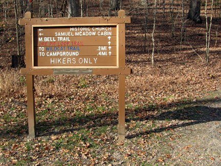
Montgomery Bell Trail sign at Montgomery Bell State Park

Montgomery Bell Trail Guide

The Montgomery Bell Trail is the park’s long walk—the route for hikers who want the hardwood ridges, creek bottoms, lakes and history to unfold over hours rather than minutes. Tennessee State Parks lists the trail at 10.24 miles. That distance makes it a serious day hike even though the terrain never becomes mountainous.

Montgomery Bell Trail sign at Montgomery Bell State Park
Trail signage for the Montgomery Bell Trail route.
Trail snapshot: 10.24-mile natural-surface circuit; long day hike or permitted overnight route; best for experienced hikers comfortable with intersections, road crossings and changing conditions.

Why hike it

This is the closest thing Montgomery Bell has to a full portrait. The trail reaches old ore country, passes water and wetland habitat, crosses working park roads and ties into shorter trails. Much of the pleasure is quiet rather than theatrical: a long ridge under oak and hickory, the sound of a creek returning after a dry slope, the sudden openness of a lake edge.

Route character

The circuit is connected to the Spillway, Creech Hollow, Wildcat, Ore Pit and Woodland Shelter routes. That web creates useful alternatives, but it also makes a current map essential. Expect roots, rocks, leaf-covered tread, intermittent creek crossings and several places where a hurried hiker can follow the wrong blaze. Historic route descriptions are helpful context, not a substitute for signs on the ground.

Day hike or overnight?

Strong hikers can complete the circuit as a day hike with an early start and conservative pace. Anyone planning to stay overnight must confirm the current shelter, permit, reservation, camping and water rules with the park. Read our overnight planning guide before treating this as a backpacking trip.

Navigation

  • Carry the current official map and photograph the trailhead map.
  • Download an offline map, but do not make a phone your only navigation tool.
  • Pause at every junction and road crossing until the next blaze is certain.
  • Do not improvise shortcuts on old roads or social paths.

Water, weather and timing

Natural water must be treated, and a mapped stream may be low or dry. Carry enough capacity for the season and confirm current guidance. Summer heat and humidity can make the mileage punishing; wet leaves and wooden surfaces can be slick; winter daylight is short. Turn around or shorten the route before a small problem becomes an after-dark navigation problem.

Highlights along the circuit

Depending on direction and current routing, hikers encounter the park’s iron-industry landscape, historic church area, forested natural-area tracts, creeks and lake margins. The trail is especially rewarding for hikers interested in how human history and recovering forest occupy the same ground.

Who should choose another trail

Families with small children, visitors with limited time and anyone uncertain about a ten-mile natural-surface route will enjoy the park more on Jim Bailey, Ore Pit or Creech Hollow. There is no prize for choosing the longest trail.

Before leaving the trailhead

  • Tell someone your route and return time.
  • Carry water, food, rain protection, first aid and a dependable light.
  • Check official alerts and ask about recent blowdowns or high water.
  • Keep dogs leashed and confirm current rules.
  • Leave ore pits, structures, plants and wildlife undisturbed.

Return to the Montgomery Bell hiking hub to compare every major trail, or review our trail safety guide.

Sources

Distance and official trail status should be confirmed through Tennessee State Parks and the current park map. This guide avoids guaranteeing water, access or conditions that can change.

Montgomery Bell State Park vs. Nearby Parks

Montgomery Bell State Park vs. Nearby Parks

Montgomery Bell State Park is a strong all-around choice near Middle Tennessee, but it is not the best park for every trip. The right destination depends on whether you want a resort-style base, a natural-area walk, river access, cave and cultural interpretation, or a different landscape. This comparison is a decision guide—not a claim that one park is universally better.

Choose Montgomery Bell when

  • You want several activities within one park, including trails, lakes, golf, dining, and overnight options.
  • Your group has different interests and needs a flexible base.
  • You want to combine outdoor recreation with park history.
  • You prefer the option of a lodge, cabin, or campground.

Consider Harpeth River State Park when

Harpeth River may be a better match for a river-centered outing and a park made up of multiple access areas. Water conditions and access rules deserve careful advance checking. Use the official Tennessee State Parks page for current planning.

Consider Dunbar Cave State Park when

Dunbar Cave may fit visitors interested in a concentrated natural and cultural site with scheduled interpretation. Cave access and programs are controlled experiences; confirm reservations, seasons, and current availability directly with the park.

Consider Radnor Lake State Natural Area when

Radnor Lake may appeal to visitors prioritizing wildlife observation and a protected natural-area experience near Nashville. It operates differently from a multi-activity resort park, so review current parking, access, and visitor rules before traveling.

How to compare fairly

  • Start with your primary activity, not a list of amenities.
  • Check driving time for the actual day and origin of travel.
  • Verify closures, reservations, parking, and water conditions.
  • Match trail difficulty and facilities to every person in the group.
  • Use official park sources for operational decisions.

If Montgomery Bell is the right choice, begin with Things to Do, the park map, and the one-day itinerary.

Official park information

Montgomery Bell State Park Family Activities

Family Fun: Activities for All Ages at Montgomery Bell State Park

Montgomery Bell State Park works especially well for families because you can build a day around short walks, lake views, a picnic, history, or a longer outdoor adventure without spending the whole visit in the car. The best plan is not to do everything. Choose two or three experiences that fit your group, leave time between them, and keep a weather backup in mind.

Start with the right kind of family day

For young children and an easy pace

Keep the day simple: enjoy a short walk, spend time near Lake Acorn, and stop for a picnic or meal. Use the park map before setting out so you can avoid unnecessary driving and choose convenient stopping points.

For active school-age children

Combine a manageable section of trail with time near the water. Review the hiking guide and choose a route for the least-experienced person in the group. Families interested in paddling or fishing can also compare the boating and fishing guides.

For teens and mixed-age groups

Give everyone a part in the plan. A longer hike, a round of golf, biking, photography, or an evening outdoors can make the visit feel less like a forced family outing and more like a shared trip.

Family-friendly things to do

  • Walk or hike: Choose distance and terrain conservatively, carry water, and turn around before anyone is exhausted. See Hiking at Montgomery Bell State Park.
  • Spend time at Lake Acorn: The lake area can anchor a relaxed visit with scenery, water activities, and nearby park facilities. Read the Lake Acorn guide.
  • Fish together: A short bank-fishing session can be easier for children than committing to a full day. Confirm current Tennessee license requirements and park rules before fishing.
  • Bring a picnic: Pack food, water, wipes, insect repellent, and a bag for your trash. Arrive with an alternate location in mind when the park is busy.
  • Explore park history: The park’s iron-industry, church, and recreation-era stories add context to the landscape. Start with our park and history guide.
  • Watch for birds and wildlife: Quiet mornings and late afternoons often make nature observation more rewarding. Never approach or feed wildlife. See the nature and wildlife guide.

A practical one-day family plan

Morning: Begin with a short hike while temperatures are comfortable. Midday: Eat at a picnic area or review the park restaurant guide. Afternoon: Choose one lake activity or an easy historical stop. Leave unplanned time for rest, weather changes, and the discovery that becomes your child’s favorite part of the day.

Make it an overnight trip

Staying inside or near the park removes the pressure to fit everything into one day. Compare the complete lodging guide, including the park lodge, cabins, and camping. Check current availability, policies, and amenities before booking.

Before you leave home

  • Check the weather and current park notices.
  • Bring water, sun protection, insect repellent, and suitable shoes.
  • Download or photograph the map in case cellular service is inconsistent.
  • Confirm seasonal hours, rentals, programs, and facility availability with Tennessee State Parks.
  • Keep children close near roads, water, steep ground, and unfamiliar wildlife.

For additional ideas, return to our Things to Do hub or check the official Tennessee State Parks page for current notices and programs.

Family visit questions

Is Montgomery Bell State Park a good day trip with children?

Yes. The park supports flexible visits, from a short walk and picnic to a fuller day involving trails, lake activities, and history. Match the plan to your children’s ages, energy, and experience outdoors.

What should families do when it rains?

Keep an indoor or shortened alternative ready and check current conditions before driving. Avoid trails, water activities, and exposed areas when weather makes them unsafe.

Do we need to reserve activities in advance?

Some lodging, facilities, programs, rentals, and group spaces may require reservations or operate seasonally. Verify current details directly with the park before your visit.